winter dreams of summer
For some reason we started thinking about this summer's camping trip much much earlier than usual. Maybe it's the extra-cold weather, maybe it's the postcard the campground sent us, but it's definitely on our minds. Mine especially.
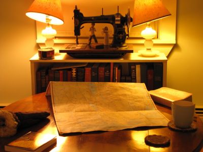
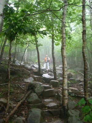
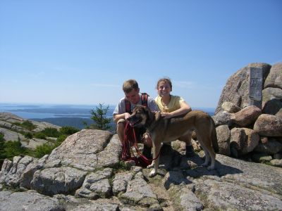
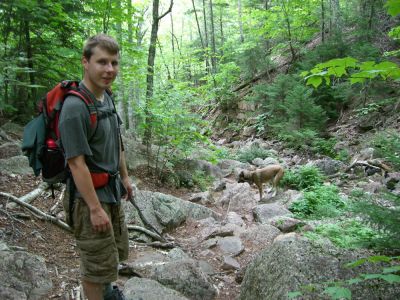
I've been going through the old photos lately, and I got out the map of Acadia to try and puzzle out where we were in the various hiking shots. Our documentation is not the best, despite big plans and promises every year. Wouldn't it be nice to record when we've taken a particular trail, and what it's like, so that we can repeat the ones we like and avoid the ones we don't? It sounds so easy, doesn't it.
Some images from years past:


comments
somebody's making cameras with gps now, so that you can automatically log where you were when you took the shot. i'm playing with a program on my phone to track my hikes, but last weekend it didn't pick up a signal once along the trail. sometimes maybe technology makes things harder instead of easier.
"i lost my mind, but i've got ink" -- mitch hedburg
I love living in the future!
while you're at it, can you keep track of all the trails we've been on in Acadia? any recommendations for what to do next?